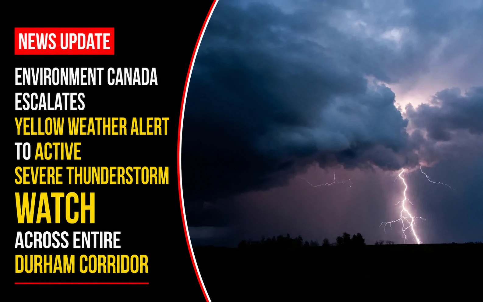
The emergency dispatch centers, municipal public works yards, and infrastructure maintenance crews within the Durham Region are operating under a heightened state of readiness. Tracked under regional environmental and public safety portfolios on Thursday, July 9, 2026, emergency communication monitors finalized the active alert log Severe thunderstorm watch issued for parts of southern Ontario. Upgraded dynamically by Environment and Climate Change Canada just after midday, the formal watch designates the region’s atmosphere as highly favorable for the immediate release of damaging, convective weather cells capable of disrupting transit lines and residential utility infrastructure.
Regional disaster management coordinators are advising residents to secure loose outdoor property and prepare for sudden drops in visibility along major highway networks.


The Severe Alert Threshold and Micro-Cell Projections
The incoming storm front is characterized by extreme localized precipitation potential combined with high structural wind shear.


-
The Geographic Alert Span: The formal yellow watch warning covers a massive trajectory sweeping directly from Pickering eastward past Kingston, anchoring directly over the urban centers of the Durham Region.
-
Destructive Wind Velocity: Forecasters warn that atmospheric downbursts could generate localized straight-line wind gusts peaking up to 90 km/h. Winds of this magnitude are statistically capable of snapping mature tree limbs, compromising residential fences, and peeling weak roofing materials.
-
Flash Precipitation Ceilings: Torrential localized downpours are modeled to dump up to 60 mm of rain within highly compressed time windows. Because the sub-tropical moisture is moving in distinct waves, neighborhoods that undergo multiple sequential storm cells face immediate drainage surcharges.
Analyzing the Emergency Infrastructure Vulnerability Matrix
The escalation to an active Severe Thunderstorm Watch identifies specific operational strains across the regional public works grid.
| Monitored Risk Vector | Active Watch Threshold Metrics | Potential Infrastructure Damage Profile | Immediate Municipal Action Plan |
| Localized Downpours | Up to 60 mm of accumulation | Accelerated urban flash flooding; creek bank erosion; culvert washouts. | Dispatching vacuum trucks to clear high-risk catch basins along transit lanes. |
| Convective Wind Shear | Up to 90 km/h wind gusts | Structural damage to soft shelters; fallen wires; localized power grid drops. | Hydro crews placed on high-priority standby with pre-staged repair assets. |
| Atmospheric Shading | Dense yellow alert classification | Sudden, absolute loss of visibility for highway commuters during downbursts. | Activating electronic variable messaging signs across the Highway 401 corridor. |
The Meteorological Watch Directive
“Conditions are favourable for the development of severe thunderstorms that may be capable of producing strong wind gusts and heavy rain,” Environment Canada forecasters stated in the urgent public safety dispatch. Emergency management offices emphasize that a weather watch means the legal ingredients for violent storms are actively present in the local atmosphere; if a specific cell consolidates and is verified on radar tracking, the file will escalate instantly into a localized warning, requiring immediate indoor shelter.
Environment and Climate Change Canada and regional municipal emergency services desks manage ongoing radar monitoring and public broadcast systems.
Durham Region homeowners, commercial logistics managers, and commuters looking to review active live-radar precipitation sweeps, check real-time regional power outage maps, or submit reports of localized wind damage can access the database networks online through the central Environment Canada alert hub or monitor live local emergency responses through the Durham Region public safety network.