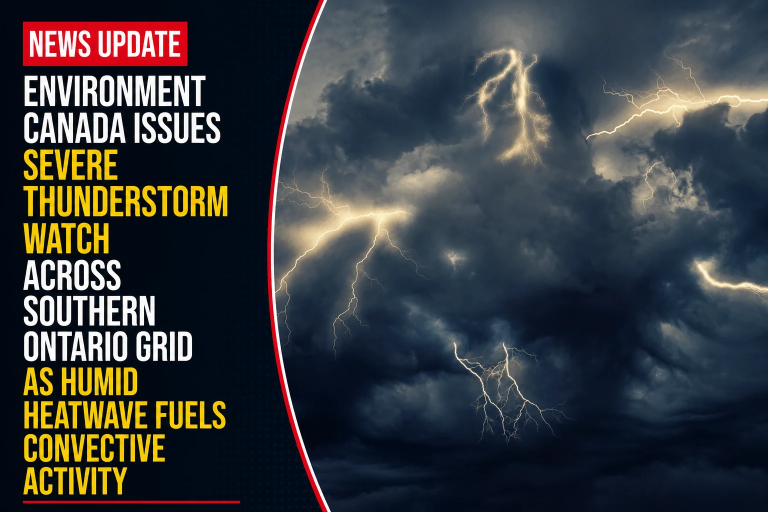
The public safety divisions, emergency management branches, and regional power distribution utilities within the Durham Region are transitioning into an active weather response stance. Tracked under federal meteorological registries on Friday, July 3, 2026, corporate weather desks finalized the hazard frameworks for the advisory Another weather alert in effect in southern Ontario. Triggered by a highly volatile mixture of intense daytime heating and low-level tropical moisture pooling ahead of an advancing cold front, Environment and Climate Change Canada activated a yellow-level severe thunderstorm watch across the Golden Horseshoe and Greater Toronto Area.
The primary atmospheric threat balances high-velocity downburst winds capable of unroofing residential structures with intense localized cloud-to-ground lightning metrics.


The Severe Thunderstorm Watch Core Hazard Metrics
The convective storm cells have the potential to develop with extreme velocity, shifting localized outdoor recreation zones into emergency situations within minutes.


-
The High-Velocity Wind Threat: Atmospheric tracking maps show that collapsing storm cells can generate destructive straight-line wind gusts reaching up to 100 km/h. Winds of this magnitude carry sufficient kinetic energy to break heavy tree branches, snap aging utility poles, damage commercial roofing structures, and overturn high-profile transport trailers on regional highways.
-
The Microclimate Hail Profile: The intense updrafts embedded within the core cells are capable of generating ping pong ball-sized hail. This falling ice can instantly shatter vehicle windshields, shred residential vinyl siding, and inflict severe blunt-force injuries on exposed pedestrians or animals.
-
Flash Precipitation Volumes: Localized downpours are forecast to drop high-density moisture buckets, with accumulations easily exceeding 30 millimetres within brief, isolated windows. This volume risks overwhelming municipal stormwater networks, blinding highway drivers, and triggering flash ponding across low-lying sections of the regional grid.
-
The Geographic Scope: The yellow-level watch blankets a massive multi-municipal corridor, specifically tracking across Toronto, Mississauga, Brampton, Caledon, Burlington, Oakville, Hamilton, the Niagara Region, Newmarket, Pickering, Ajax, Oshawa, and Whitby.
Analyzing the July 3 Severe Weather Infrastructure Risks
Municipal engineering branches are keeping a close watch on regional grid vulnerabilities as the storm front crosses local intersections.
| Monitored Infrastructure Node | Projected Weather Stressor | Primary Public Safety Risk | Recommended Safety Stance |
| Overhead Hydro Distribution | 100 km/h straight-line wind gusts | Tree limbs snapping onto live wires, causing blackouts | Charge secondary battery banks; stay 10m back from down lines |
| Local Creeks & Watersheds | 30+ mm flash precipitation pour | Rapid water elevation spikes & sudden embankment washouts | Keep children and family pets far back from drainage channels |
| Regional Highway Arteries | Sudden torrential downpours | Hydroplaning and complete loss of driver visibility | Pull over to the hard shoulder if lanes become unreadable |
| Residential Property Enclosures | Falling ping pong ball-sized hail | Broken windows, dented siding, and property damage | Move vehicles into garages; secure loose patio assets |
The Public Safety Directive: Environment Canada meteorologists emphasize that a severe thunderstorm watch means conditions are favorable for dangerous storm development. If threatening weather approaches or sky conditions darken rapidly, residents must instantly treat the watch as an active threat, move indoors to a structurally sound building, and stay away from windows until the cell passes.
Regional utility managers at Elexicon Energy and Oshawa Power have placed field repair crews on standby to respond to any localized transformer blowouts or lightning-induced grid failures.
The Environment and Climate Change Canada severe weather watch desk handles all active municipal climate tracking.
Durham Region residents, commercial construction supervisors, and commuters looking to trace real-time Doppler radar loops, download localized emergency preparedness checklists, or check active power outage maps can access the public safety system online at weather.gc.ca, durham.ca, or track utility restoration alerts via elexiconenergy.com.