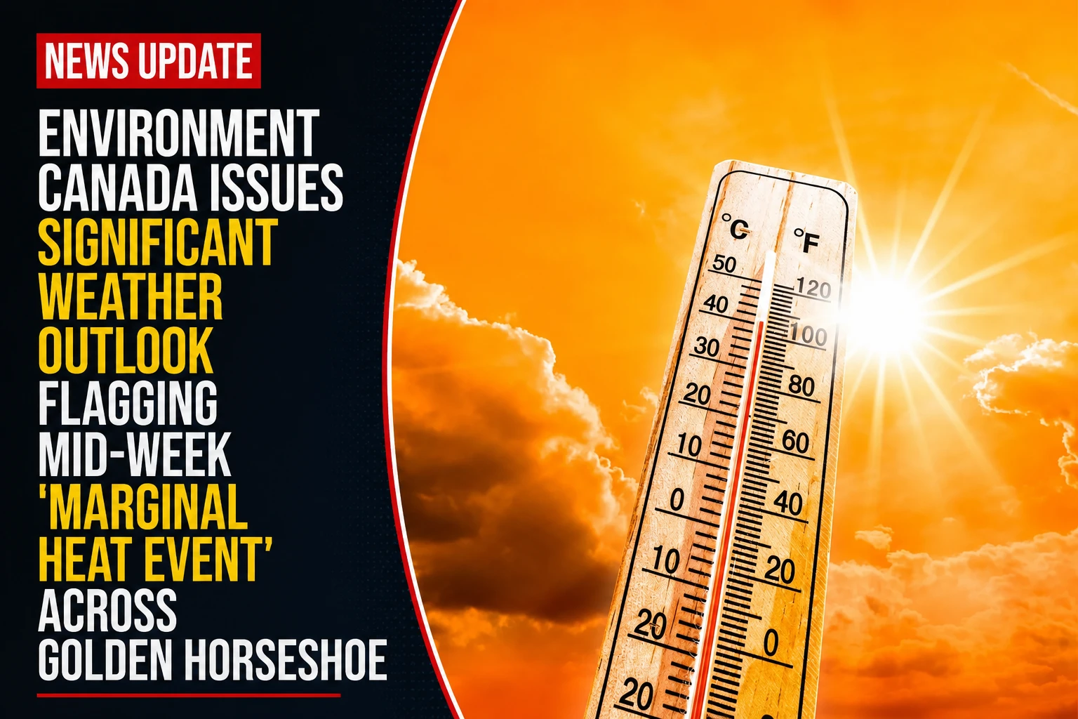
The public health advisory boards, emergency management divisions, and outdoor municipal workforce supervisors across the Durham Region are tracking shifting thermal boundaries. Tracked under federal meteorological portfolios on Monday, July 6, 2026, climate monitoring clerks finalized the short-range system charts for the brief ‘Heat event’ could impact parts of southern Ontario later this week. Stepping down in intensity from the punishing orange-level heatwave that blanketed the province during late June and early July, a secondary influx of warm air is scheduled to cross the Great Lakes basin, triggering low-level humidity build-ups across the urban grid.
Forecasters note that while the system qualifies as a marginal event, the combination of daytime highs near the 30s and minimal overnight cooling will stress local energy grids and vulnerable residents.


The Multi-Day Thermal Profiles and Atmospheric Conditions
The incoming mid-week weather pattern brings elevated humidex readings alongside a layer of short-range forecast uncertainty.


-
The Geographic Footprint: The federal “significant weather outlook” maps track a massive swath of thermal activity extending from the Ottawa Valley southwest through the Greater Toronto Area all the way to the Windsor border.
-
The Wednesday Framework: The initial wave of the heat event is scheduled to settle over the Durham Region on Wednesday. Daytime ambient temperatures are forecast to scale between 29°C and 32°C, while thick atmospheric moisture pushes real-feel humidex values into a muggy range of 33 to 38.
-
The Overnight Baseline: Nighttime cooling will be heavily restricted by a lingering dew-point blanket, holding overnight lows to a warm, sticky 19°C to 20°C. This lacks the traditional thermal relief required to naturally cool multi-storey residential brick structures.
-
The Thursday Outlook: Thursday maintains identical thermal limits, with daytime highs holding firm at 29°C to 32°C and humidex projections capping at 38.
The Cold-Front Timing and Forecast Disruption
Environment Canada meteorologists emphasize that there is currently a high level of operational uncertainty regarding exact Thursday afternoon temperature peaks. The final numbers depend directly on the forward speed of an advancing northern cold-front pushing down over southern Ontario. If the front moves faster than current computerized tracking models suggest, it will trigger early convective cloud cover and scattered showers, cutting off solar radiation and keeping temperatures closer to seasonable mid-20 baselines. Conversely, a delayed frontal passage will allow maximum solar heating to unlock the highest forecast tiers.
The Durham Region Health Department operates its central Heat Warning and Information System (HWIS) concurrently with federal alerts, monitoring conditions to protect vulnerable groups—such as infants, older adults living alone, and outdoor commercial laborers—from acute heat exhaustion.
The Environment and Climate Change Canada significant weather watch desk handles all active municipal climate tracking.
Durham Region residents, commercial safety supervisors, and local logistics coordinators looking to view real-time Doppler radar arrays, track changing cold-front arrival times, or access localized cooling center location directories can find the data systems online at weather.gc.ca or track municipal health warnings via durham.ca/heat.