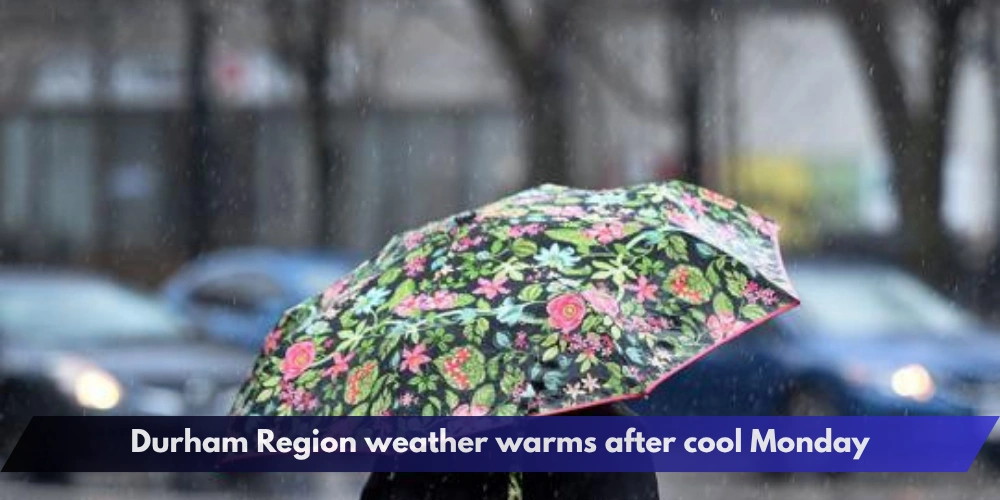
Durham Region residents can expect temperatures to rebound Tuesday after a cool, unsettled Monday brought a noticeable taste of fall to southern Ontario.
The Durham Region weather outlook is expected to turn warmer on Aug. 25, with temperatures returning to the mid-20s after Monday highs generally stayed near 20 C. Environment Canada says the cooler conditions were linked to a lingering low-pressure system that also produced scattered showers across parts of southern Ontario.


The change will not mean completely dry weather for the rest of the week, however. Another weak cold front could bring a renewed chance of showers and thunderstorms later Wednesday into Thursday.


Tuesday brings a return to warmer weather
Monday was cooler than normal across much of southern Ontario, with daytime temperatures generally ranging from about 18 C to 21 C. Scattered showers and breezy conditions added to the fall-like feel.
Conditions are expected to improve Tuesday as the system moves away.
Environment Canada forecasts for communities across Durham Region show daytime highs returning to roughly 24 C to 25 C, with mainly sunny or partly cloudy conditions in many areas.
That would put temperatures much closer to seasonal values for late August.
Residents who experienced the heavy rain and thunderstorms over the weekend should also get a break from the wetter conditions, with Tuesday expected to be considerably drier.
Rain could return later Wednesday
The Durham Region weather pattern may become unsettled again as the week continues.
A weak cold front is forecast to approach southern Ontario later Wednesday, bringing the possibility of scattered showers. Some areas could also see a thunderstorm as the system moves through.
Environment Canada forecasts for southern and northern Durham show a chance of showers developing Wednesday night or Thursday, although timing and rainfall amounts may change as the system approaches.
Temperatures are still expected to remain seasonable, generally in the low to mid-20s.
Residents should continue checking updated forecasts if they have outdoor plans, particularly from Wednesday evening through Thursday.
Weekend rainfall brought localized flooding concerns
The changing forecast follows a wet weekend across parts of southern Ontario.
Durham Region was among the areas covered by special weather statements during the weekend as showers and thunderstorms produced locally heavy rain. Environment Canada warned that water could pool on roads and in low-lying locations and that washouts were possible near rivers, creeks and culverts.
By Monday, the most significant rainfall concerns had shifted away from much of Durham Region, although scattered showers remained possible.
Elsewhere in southern Ontario, forecasters were continuing to watch areas that had already experienced flooding, particularly parts of Niagara.
Friday may bring improving conditions
By Friday, a larger area of high pressure is expected to move into Ontario and help clear the skies.
Current forecasts point toward a mix of sun and cloud with temperatures in the low to mid-20s heading toward the weekend.
The overall Durham Region weather outlook therefore includes several quick changes: a cool and showery Monday, warmer and brighter conditions Tuesday, another chance of rain later Wednesday and Thursday, followed by possible improvement Friday.
Because late-summer thunderstorms can develop quickly and forecasts can change, residents should monitor Environment Canada for updated local conditions, watches and warnings.
Drivers should also use extra caution during periods of heavy rain and avoid flooded roads or areas where water is pooling.
For now, Durham Region appears set to trade Monday’s brief taste of fall for more typical late-August temperatures before the next chance of showers arrives.