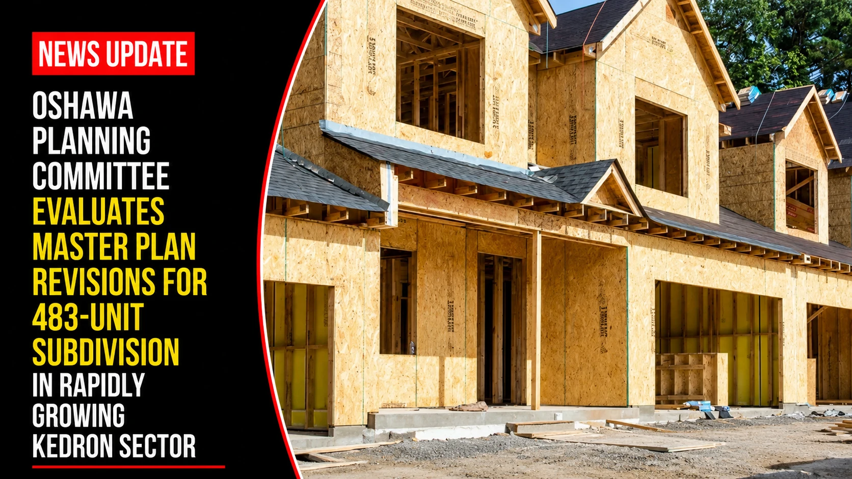
The municipal planning divisions, infrastructure engineering departments, and residential development portfolios within the Durham Region have received a major community expansion application. Tracked under local governance and urban development portfolios on Thursday, July 9, 2026, development application intake clerks finalized the zoning log Oshawa receives proposal for 483-unit development. Submitted by Land Solutions Ontario on behalf of Oshawa (Conlin) Developments (BT) Inc., the formal request triggers a comprehensive public and legislative review to structurally alter density allocations within a major north-end growth node.
Municipal planning officials note that the developer is seeking a strategic swap of residential classifications to maximize street townhouse density while scaling back single-family footprints.


The Planning Amendments and Geographic Footprint
The targeted real estate parcel sits within one of the primary residential expansion corridors in the city’s northeast boundary.


-
The Development Lands: The massive property block is situated generally north and south of Britannia Avenue East, directly east of Grandview Street North in the Kedron Part II secondary planning zone.
-
The Land Reclassification Swap: The core purpose of the application is to formally amend the Kedron Part II secondary plan by executing a precise land-use swap: shifting a block of the draft plan of subdivision from Low Density Residential to Medium Density I Residential, while moving an adjacent block back to Low Density.
-
The Density Volatility Matrix: The restructuring drops semi-detached units entirely, swapping them for higher-density street townhouses. The updated configuration aims to deliver a modern mix to meet shifting housing targets.
Analyzing the Housing Mix Transformation Profiles
The requested planning revision changes the structural layout of the subdivision, adding higher-density housing formats.
| Housing Unit Typology | Original Draft Approval Allocation | Newly Proposed Layout Revision | Net Volumetric Unit Delta | Direct Infrastructure Strain Vector |
| Single Detached Dwellings | 172 estate homes | 125 single family homes | -47 units (Decrease) | Eases total spatial lot coverage requirements across the layout. |
| Semi-Detached Dwellings | 74 individual units | 0 units | -74 units (Eliminated) | Erases intermediate structural footprints from the streetscape. |
| Street Townhouse Dwellings | 72 row units | 212 row units | +140 units (Surge) | Heightens local demand on neighborhood parking and primary utility links. |
| Blended Project Volume | Historical Base Layout | 483 total units | Strategic Density Shift | Elevates baseline traffic projections for the Britannia Avenue corridor. |
The Municipal Planning Framework
“The requested amendments reflect an ongoing trend across Durham Region where developers are modifying historical low-density approvals to introduce efficient townhouse configurations,” noted an Oshawa development coordinator. Because the Kedron secondary plan controls broader architectural guidelines and neighborhood park allocations, the City’s Planning Services Department will run comprehensive utility capacity checks to verify that local water infrastructure and schools can comfortably absorb the increased population density.
The City of Oshawa Planning Services Department and the Durham Region Works Department handle ongoing zoning reviews, public feedback loops, and infrastructure capacity audits.
Oshawa residents, local property owners, and urban planning analysts looking to examine full digital layout maps of the Britannia Avenue site, submit formal citizen commentary sheets to the planning committee, or track upcoming municipal public meeting dates can access the data networks online through the official City of Oshawa planning register or track regional development applications via the Durham Region public dashboard.