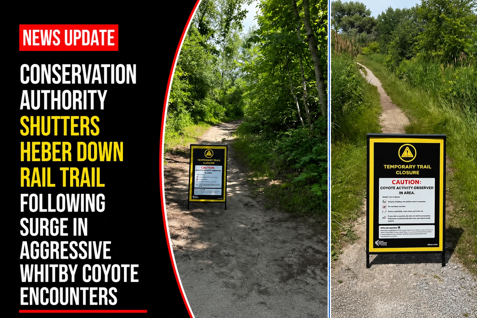
The environmental planning boards, regional public safety desks, and wildlife management teams within the Durham Region are coordinating emergency safety interventions across local trail systems. Tracked under regional environmental and public safety portfolios on Thursday, July 9, 2026, natural resource coordinators finalized the tactical safety log ‘Increased coyote activity’ closes trail at Ontario conservation area days after nearby attack. Acting on direct advisories from field biologists, the Central Lake Ontario Conservation Authority (CLOCA) enacted an immediate, indefinite closure of a prominent multi-use looping trail to insulate a highly sensitive seasonal denning zone from structural human interference.
The emergency trail closure follows an escalating series of aggressive, unprovoked urban wildlife encounters in the immediate municipality that have resulted in multiple emergency trauma hospitalizations for young children over a two-week period.


The Heber Down Infrastructure Closure Details
The targeted environmental quarantine directly restricts access to a highly frequented section of the local conservation corridor.


-
The Closed Corridor: The closure mandates a complete public lockout of the Railway Trail at Heber Downs Conservation Area (500 Lyndebrook Road) in north Whitby. The 5.8-kilometre loop is constructed over an elevated 19th-century railway berm, which offers ideal subterranean burrow conditions for local wildlife.
-
The Safety Rationale: CLOCA officials, in close consultation with specialists from Coyote Watch Canada, initiated the barrier protocols during the height of the summer denning and pup-rearing season. The closure aims to protect defensive adult coyotes from trail encounters, reducing aggressive protective loops.
-
The Ground Alternate Routing: Park wardens have deployed physical barricades and high-visibility signage along the trail networks, routing all pedestrian traffic away from the yellow-mapped loop and toward standard internal perimeter trails.
Contextualizing the Rapid Progression of Regional Canine Encounters
Municipal animal control agencies and tracking desks have mapped out an increasingly compressed timeline of wildlife conflicts inside the Whitby urban boundary.
| Calendar Timeline Node | Exact Geographic Coordinate | Involved Wildlife Vector Profile | Documented Human / Public Safety Impact |
| July 9 Closure | Railway Trail Loop (Heber Down) | Active denning pack displaying heightened territory monitoring. | Preemptive Trail Lockout: Indefinite public closure to prevent den interference. |
| July 5 Incident (Night) | Harriet Street / Annes Street | Single adult coyote reported in deep physiological distress. | Area residents secured the perimeter; animal safely removed by DRPS officers. |
| July 5 Incident (Evening) | Vanier Park Playground (99 Vanier St.) | Unprovoked adult coyote encroaching onto public structures. | Severe Facial Knife-Bite: A 2-year-old toddler suffered serious trauma before bystanders intervened. |
| June 22 Incident | Coronation Road / Rossland Road | Solitary aggressive canine tracking forested tree lines. | Toddler Hospitalization: A young male child was bitten in an open field, prompting an initial DRPS alert. |
The Central Lake Ontario Conservation Authority and Whitby Animal Services handle ongoing trail enforcement, digital sighting mapping, and field tracking.
Whitby families, park visitors, and local outdoor enthusiasts looking to report a local coyote sighting, review updated trail safety boundary maps, or look over the standardized hazing protocols for wildlife encounters can find the data platforms online through the official Town of Whitby ArcMap survey tool, log details via the CLOCA monitoring matrix, or track active emergency updates through the Durham Regional Police Service public portal.