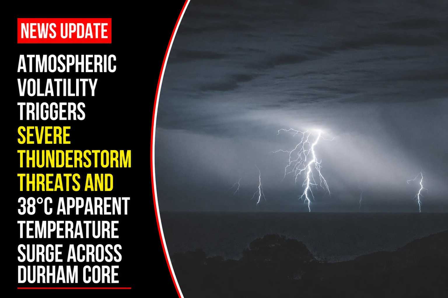
The emergency response directorates, municipal outdoor labor boards, and electrical infrastructure teams within the Durham Region are navigating an intensely volatile sub-tropical weather system. Tracked under regional environmental and public safety portfolios on Thursday, July 9, 2026, climate dispatch logs finalized the acute short-term bulletin July 9 weather: Thunderstorms with high that feels like 38 C in southern Ontario. Real-time monitoring fields from Environment and Climate Change Canada indicate a high-moisture convective boundary moving along the North Shore of Lake Ontario, setting up severe local rain cells and elevated heat-stress indexes.
First responders and utility networks are on standby for potential localized flooding, high wind shear, and isolated lightning-induced distribution interruptions across local corridors.


Immediate Convective Activity and Humidex Breakdown
The interaction between high ambient ground temperatures and an influx of moist lake air is compressing the regional comfort index toward extreme levels.


-
The Daytime Convective Block: Base dry-bulb air temperatures are tracking to touch a peak of 30°C. However, intense moisture saturation will drive the real-feel humidex value to 38°C across the Oshawa-Durham sector. Skies are forecast to undergo rapid destabilization, introducing a 60 percent probability of heavy showers and severe thunderstorms through the afternoon.
-
The Overnight Atmospheric Profile: High relative humidity levels will prevent rapid thermal dissipation after sunset. The region faces a persistent 60 percent chance of overnight storm activity and heavy downpours, maintaining an unseasonably warm and thick minimum low of 19°C to 20°C.
-
The Friday Stabilization Phase: The unstable trough is modeled to push eastward by Friday morning, giving way to a more stable mix of sun and cloud. High temperatures will ease slightly to a more comfortable 27°C with a low chance of stray showers before clearing completely by Friday night.
Analyzing the Micro-Climate Shift and Operational Risks
The mid-week tracking profile identifies distinct operational vulnerabilities generated by the sudden collision of high heat and storm activity.
| Evaluated Climate Variable | Measured Operational Value | Baseline Deviation Level | Direct Public Infrastructure Strain |
| Apparent Humidex Peak | 38°C perceived heat | +12°C over typical seasonal dry averages | Severe thermal loading on municipal transit cooling arrays and water systems. |
| Precipitation Probability | 60% active cell risk | High localized concentration threshold | High risk of urban flash flooding and culvert surcharges along the Kingston Road corridor. |
| Overnight Thermal Floor | 19°C to 20°C minimum | Elevated overnight baseline norm | Reduced ambient cooling capacity for residential properties lacking active HVAC systems. |
The Municipal Safety Mandate
Regional public works crews are advising residents to clear debris from neighborhood catch basins and ensure household stormwater systems are unimpeded ahead of the afternoon storm window. Because convective storm patterns are highly localized, rain accumulation volumes could vary significantly between coastal beach neighborhoods in Ajax and higher-elevation rural sectors in northern Clarington. Outdoor recreational camps are migrating under temporary indoor protocols during active lightning signatures.
Environment and Climate Change Canada and municipal emergency dispatch offices manage active storm tracking and public alert systems.
Durham Region residents, commercial operators, and commuters looking to review active lightning radar loops, verify municipal drainage service status, or review emergency household power outage kits can find real-time data networks online via the central Environment Canada tracking hub or track active regional alerts through the Durham Region public safety portal.