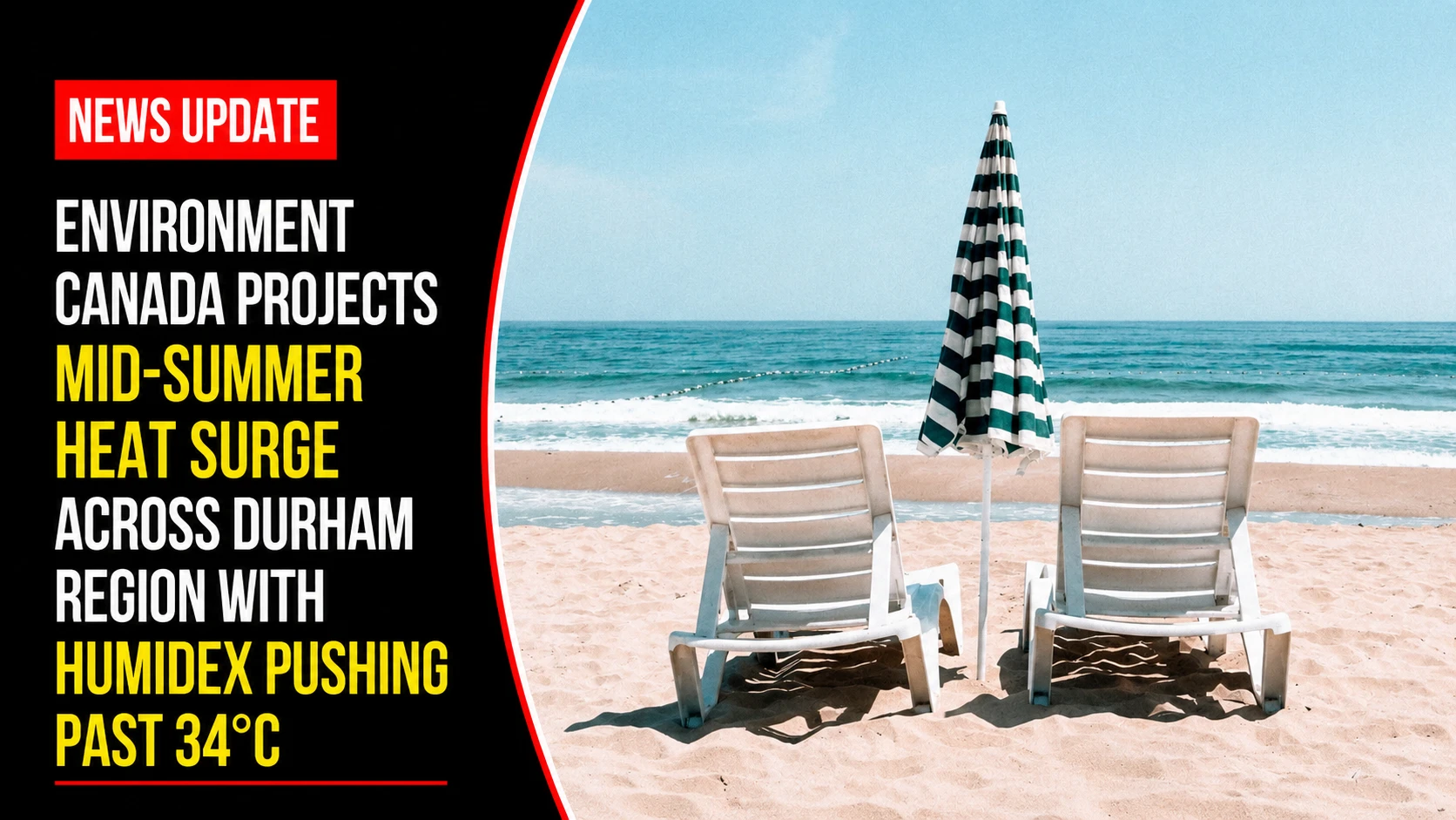
The public health departments, emergency management desks, and park operations divisions within the Durham Region are preparing for a sustained mid-summer weather system. Tracked under regional environmental and public safety portfolios on Thursday, July 9, 2026, climate monitoring desks finalized the seasonal weekend outlook WEEKEND WEATHER: It will feel like 30 C in southern Ontario. Issued in coordination with Environment and Climate Change Canada, the baseline data indicates a substantial tracking shift as daytime temperatures climb well above seasonal norms, introducing localized thunderstorm risks before stabilizing into high-exposure beach conditions.
Regional medical officers of health advise that while conditions do not yet trigger an official extreme heat warning, the prolonged humidity levels demand active hydration strategies for outdoor workers and vulnerable populations.


The Three-Day Meteorological Baseline and Thermal Projections
A highly humid air mass moving out of the American Midwest is settling across Lake Ontario, creating a distinct thermal contrast between direct air temperatures and human comfort indicators.


-
The Friday Transition Block: Real-world temperatures are locked to peak at 28°C. However, heavy atmospheric moisture will drive the perceived humidex values to 34°C across Durham. High convective energy will bring a sharp risk of localized, fast-moving thunderstorms during the late afternoon hours, drawing down to a stable low of 18°C overnight.
-
The Weekend Stagnation Window: A high-pressure system will clear out the cloud deck by Saturday morning, establishing completely clear skies. Both Saturday and Sunday will deliver straight sunshine with peak temperatures climbing from 28°C to 29°C, consistently feeling like 30°C under moderate afternoon humidity.
-
The Long-Range Climb: The sub-tropical ridge is modeled to intensify into next week, pushing base dry-bulb temperatures above the 30°C threshold by Monday afternoon.
Analyzing the Regional Climate Divergence Matrix
The incoming weekend weather pattern reflects a distinct shift above historical regional baselines, accelerating recreational beach traffic.
| Forecast Calendar Block | Peak Air Temp Baseline | Perceived Humidex Value | Historical Climate Norms | Primary Public Health Asset Impact |
| Friday Afternoon | 28°C | 34°C | 26°C | Elevated risk of sudden convective lightning; high demand on indoor community centers. |
| Saturday Operations | 28°C | 30°C | 26°C | High UV exposure index; spike in active water-use across regional beach zones. |
| Sunday Operations | 29°C | 30°C | 26°C | Sustained overnight lows of 20°C reducing natural building cooling efficiencies. |
The Seasonal Departure Analysis
Historical tracking logs provided by Environment Canada show that standard, long-term normal highs for the second week of July typically hover around the 26°C mark across the northern shore of Lake Ontario. The 2026 ridge represents a clear departure from these historical averages. Conservation authorities are monitoring local watershed tables due to the high evaporation rates expected from the intense afternoon solar radiation.
The Town of Ajax, City of Oshawa, and partner municipalities handle ongoing beach water-quality testing, splash pad operational hours, and public safety announcements.
Durham Region residents, outdoor sports organizers, and weekend campers looking to verify real-time beach water-safety results, look over active UV safety protocols, or track municipal cooling hub locations during high-humidity windows can find the live data platforms online through the official Environment Canada tracking system or monitor localized alerts through the Durham Region public health matrix.