









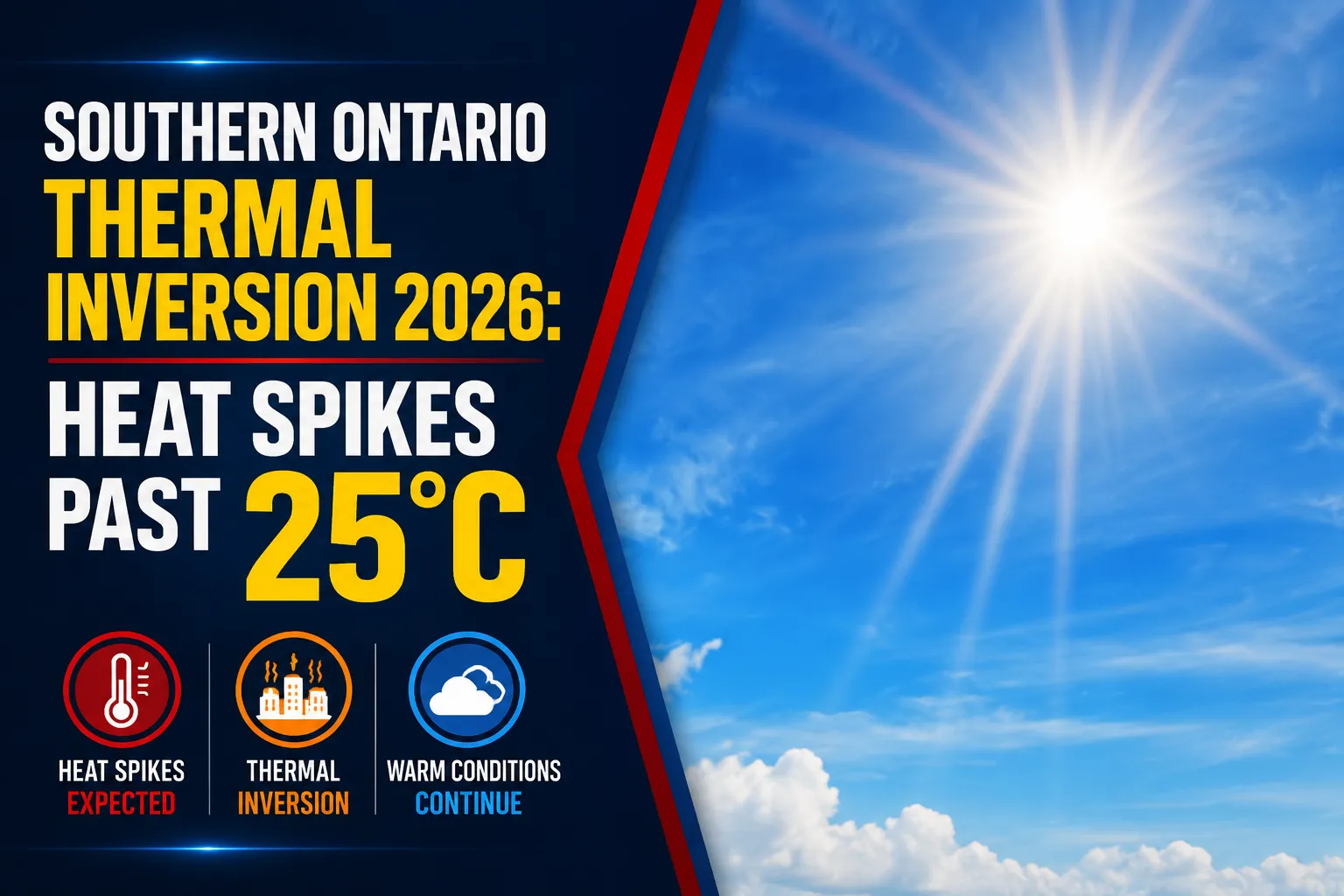
A lingering warm-air ridge continues to stall over the Great Lakes basin, extending an unseasonably hot and dry climate envelope across regional municipalities. Under the active tracking file titled the Southern Ontario Thermal Inversion 2026, Environment Canada has verified that ambient afternoon temperatures across the GTA and the Durham Region will comfortably overshoot historical seasonal maximums. The persistent atmospheric stacking is drawing high-velocity wind vectors down from the north, creating a volatile mix of baking solar heat and sudden, dry wind gusts.
Public health divisions are extending existing UV protection advisories, urging outdoor municipal work crews and school boards to closely monitor heat exposure limits during midday peak windows.


Atmospheric Grid Metrics and Wind Vectors
The current meteorological model highlights a strong departure from typical late-May baselines. While a normal seasonal ceiling for this week sits at a moderate 21°C, the incoming thermal system is pushing localized daytime peaks significantly higher.


Frontline weather stations in Oshawa and surrounding lakeshore communities confirm that the high-temperature plateau will be accompanied by an aggressive wind shear pattern. Sustained northern air currents moving at 20 km/h will frequently spike with dry, localized gusts peaking at 40 km/h.
While these wind gusts will provide a brief cooling effect against the ambient 27°C heat, emergency management panels warn that the high-velocity air flows will rapidly dry out topsoils, escalating localized pollen counts and dust hazards along open commuter transit routes.
UV Exposure Alerts and Short-Term Outlook
The weather agency has flagged the solar radiation profile with a Level 8 “Very High” UV Index warning. Under these clear-sky conditions, the Canadian dermatology association notes that unprotected skin can sustain cellular damage and blistering sunburns in under 20 minutes. Residents planning extended outdoor activities are advised to seek shaded rest zones, wear tightly woven protective clothing, and liberally apply broad-spectrum block with an SPF of 30 or greater.
The overnight transition will bring welcome relief to the region’s electrical cooling grids. Skies will remain clear through the first half of the night before shifting into partly cloudy formations after midnight, keeping the localized thermal floor down to a comfortable, crisp 13°C alongside lingering 40 km/h gusts.
Looking out toward the fast-approaching weekend, Friday is projected to usher in a severe, multi-day heat event across northwestern sectors of the province. However, the Durham Region will temporarily decouple from that extreme system on Thursday, enjoying perfectly clear, sunny conditions with a moderated, stable daytime peak of 23°C.