The public works departments, municipal traffic engineering teams, and regional emergency dispatch boards within the Durham Region are rolling out strict traffic mitigation frameworks. Tracked under regional infrastructure upgrades, municipal road safety, and commercial development access portfolios on Thursday, July 16, 2026, transportation planning desks finalized the arterial advisory Traffic Alert: Works on Rossland Road to last till August-end. Initiated by the Regional Municipality of Durham to facilitate a massive new retail commercial expansion along the corridor’s southern flank, high-impact heavy equipment crews have officially taken over the central right-of-way, altering standard traffic patterns through the rest of the summer season.
Logistical supervisors warn that the modification of center medians, outer curb geometries, and pedestrian paths will bottleneck standard cross-town commuter flow between major subdivisions.
The Two-Month Operational Footprint and Structural Geometry Alterations
The engineering timeline establishes a persistent construction zone that will require extreme driver patience during peak travel hours:


-
The Baseline Operational Schedule: The physical lane drops and equipment stagings launched on Monday, July 13, and are legally scheduled to remain active until at least Sunday, August 30, 2026, assuming unfavorable weather cycles do not stall asphalt pouring.
-
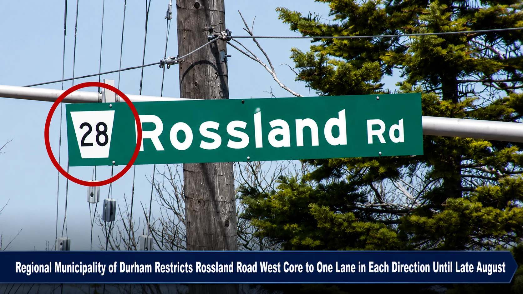
The Geographic Bottleneck Locus: The active heavy construction zone is strictly contained on Rossland Road West (Regional Road 28), spanning the high-volume thoroughfare connecting Des Newman Boulevard directly to McQuay Boulevard.
-
The Turn-Lane Infrastructure Mandate: The primary purpose of the multi-week dig is to physically rebuild the central median island and modify the eastbound curb layout. This structural alteration will create dedicated eastbound and westbound turning channels to handle high-volume vehicle ingress and egress for a proposed commercial plaza on the south side of the road.
-
The Surface Assets Affected: Beyond baseline vehicular asphalt layers, contractors are completely ripping up and shifting existing curb lines, rebuilding portions of the localized multi-use pedestrian pathway, and resetting all pavement markings.
Analyzing the Rossland Road Grid Impact and Site Safety Matrix
The regional infrastructure deployment enforces a heavily reduced traffic profile to safely insulate ground workers from moving traffic.
| Project Corridor Node | Statutory Restriction Window | Open Travel Lanes Allowed | Targeted Engineering Modifications | Mandatory Driver Action Directives |
|
Rossland Road West (Regional Road 28 Grid) |
July 13 to August 30 • Subject to extreme rain delays |
Strictly One Lane open in each direction through the bottleneck zone. |
• Center median demolition. • Eastbound curb repositioning. • New commercial turn lanes. • Multi-use path rerouting. |
Exercise Extreme Caution: Drivers must lower speeds and watch for sudden worker movements. |
The Municipal Works and Traffic Enforcement Directives
“The region realizes that the construction work will be disruptive and will make every effort to complete the work as quickly and efficiently as possible. Drivers are asked to exercise caution for the safety of work crews,” the Regional Municipality of Durham emphasized within its public safety announcement. To prevent significant gridlock along the northern Whitby corridor, regional traffic operators recommend that heavy freight vehicles and daily commuters completely bypass the Des Newman to McQuay stretch during peak morning and evening rush hours. Utilizing alternative east-west pipelines, such as Dundas Street to the south or Taunton Road to the north, will significantly alleviate pressure on the local construction grid and ensure that regional development projects can proceed on schedule without compromising public safety.
The Regional Municipality of Durham Public Works Department, the Town of Whitby Traffic Operations Branch, and individual private commercial construction project managers handle ongoing lane configuration, signage deployment, and site safety compliance.
Whitby commuters, local delivery dispatchers, and area business operators looking to check real-time traffic delay metrics, view official blueprints of the upcoming south-side commercial complex, or report local road safety hazards can access the systems online through the central Durham Region municipal portal at www.durham.ca, check local neighborhood notices via the Town of Whitby civic dashboard at www.whitby.ca, or monitor regional transit maps through the Durham Region public safety hub.