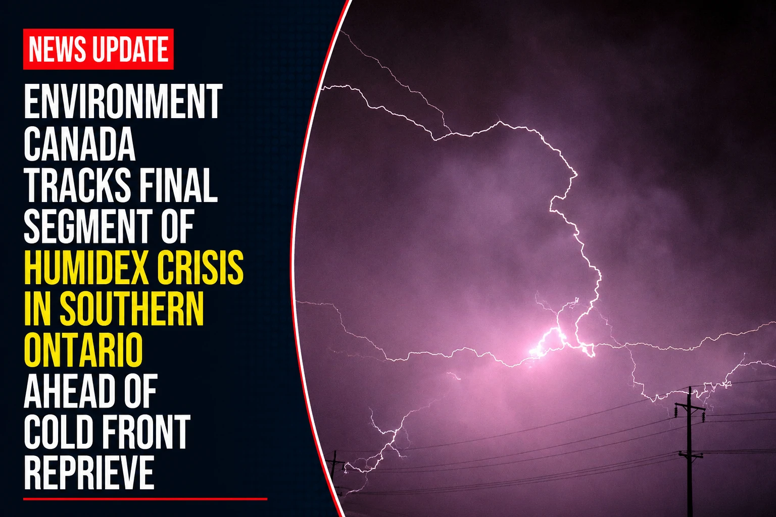
The public health emergency divisions, regional power distribution networks, and municipal community center networks across the Durham Region are navigating the peak transition phase of a multi-day heat emergency. Tracked under provincial meteorological registries on Friday, July 3, 2026, corporate weather desks finalized the environmental parameters for July 3 weather: Thunderstorm risk and high that feels like 40 C in southern Ontario. Trapped under an intense layer of moisture-laden subtropical air, the region faces dangerous real-feel peaks paired with severe convective instability before a sweeping northern cold front breaks the weather cycle over the weekend.
Public safety officials are maintaining active cooling hubs across all urban cores to protect vulnerable residents from heat exhaustion during the final hours of the alert.


The Friday Atmospheric Disruption and Extreme Humidity Grid
The localized daily environment balances heavy solar radiation with high-volume moisture accumulation and sudden storm generation cells.


-
The Baseline Thermal Load: Daytime ambient temperatures are locked at a high 32°C baseline across Toronto, Mississauga, Brampton, Hamilton, Oshawa, and the Niagara Falls corridor.
-
The 43°C Humidex Peak: Extreme low-level moisture will drive local humidex readings past 40°C across Durham, spiking as high as 43°C in neighboring Mississauga.
-
High-Risk UV Index Limits: The UV index is rated at a very high level of 9. Environment Canada continues to enforce strict safety directives, advising all outdoor commercial and construction crews to apply high-SPF sunscreen, wear protective wide-brimmed clothing, and limit direct solar exposure during peak afternoon hours.
-
The Double-Phase Storm Threat: The morning’s sun-and-cloud mix will rapidly give way to high convective instability. The region faces a 40 to 60 percent probability of rain showers, with a severe risk of fast-moving afternoon and evening thunderstorms capable of generating lightning strikes and heavy downpours.
Analyzing the July 3 Regional Climate Breakdown & Weekend Relief Timeline
While Friday night maintains an uncomfortable 20°C low with active storm vectors, weather models show a sharp pressure shift introducing cleaner, cooler air masses just in time for Saturday morning.
| Monitored Climate Period Node | Ambient High / Low Target | Real-Feel Humidex Value | Precipitation / Storm Threat Vector | Primary Public Safety Stance |
| Friday Daytime Apex | 32°C Ambient High | 40°C to 43°C Real-Feel | 40% to 60% scattered thunder risk | Extended cooling hub activations |
| Friday Overnight Trough | 20°C Ambient Low | 25°C Humidex Base | 60% heavy shower probability | Monitor local grids for lightning trips |
| Saturday System Shift | 29°C Ambient High | Seasonable Relief | 0% / Clear sunny skies forecast | Safe outdoor recreation window |
| Sunday Seasonal Baseline | 26°C Ambient High | Normal Summer Index | Sun and cloud mix / Stable conditions | Normal operations across all parks |
Emergency management branches are reminding residents to remain vigilant for the final hours of the heatwave. Early symptoms of severe heat exhaustion include dark urine, blinding headaches, sudden dizziness, intense nausea, and extreme physical fatigue. Anyone exhibiting these symptoms must be moved out of direct sunlight into a climate-controlled room immediately while family members seek medical attention.
The Environment Canada severe weather monitoring desk handles all active municipal climate tracking.
Durham Region residents, outdoor workers, and commuters looking to check real-time satellite radar loops, download active beach water quality data sheets, or view the nearest open municipal splash pad map can access the public information system online at weather.gc.ca or check regional safety updates via publicsafety.gc.ca.