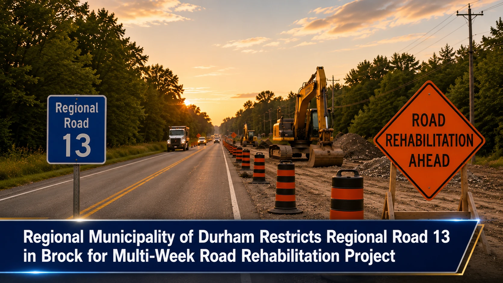
The municipal works panels, agricultural logistics dispatchers, and regional emergency services within the Durham Region are rolling out rural traffic management protocols. Tracked under regional transportation infrastructure, municipal road maintenance grids, and community travel safety portfolios on Thursday, July 16, 2026, public infrastructure coordinators finalized the arterial advisory Upcoming lane restrictions on Regional Road 13 in Brock. The Regional Municipality of Durham has authorized an intensive road rehabilitation deployment across one of northern Durham’s key east-west transit pipelines, triggering persistent single-lane closures throughout the late summer and early autumn seasons.
Transportation engineers emphasize that because the route handles heavy agricultural machinery and regional commercial delivery trucks, motorists must anticipate structural delays and localized staging bottlenecks.
The Two-Month Engineering Timeline and Geographic Parameters
The asphalt stabilization and structural paving program introduces a prolonged construction presence that will alter regional driving habits for several weeks:
-
The Projected Work Window: Physical lane drops and site preparations are scheduled to launch on Monday, July 20, and run continuously through Wednesday, September 30, 2026. Local operations planners note that severe rain profiles or early autumn temperature drops may extend this tracking timeline.
-
The Construction Locus: Heavy equipment corridors will occupy Regional Road 13, fanning across a significant geographic stretch from 30 meters east of Highway 12 stretching directly to 1.1 kilometers east of Sideroad 18 inside the Township of Brock.
-
The Project Purpose: The multi-week infrastructure project is designed to complete deep-pavement rehabilitation, stabilizing sub-base gravel layers, refreshing worn driving surfaces, and applying high-durability modern striping to withstand northern winter weather stress.
-
The Site Safety Balance: While flag operators and automated staging signals will keep the corridor open to traffic, lanes will be heavily compressed. The restricted configuration is mandated by provincial workplace law to isolate paving crews from moving passenger vehicles.
Analyzing the Regional Road 13 Traffic Matrix and Operational Restrictions
The upcoming municipal engineering grid demands heightened driver awareness across all active commuter lines.
| Target Roadway Asset | Statutory Construction Window | Primary Engineering Objective | Impacted Commuter Populations | High-Priority Public Safety Mandates |
|
Regional Road 13 (Brock Township Grid) |
July 20 to September 30, 2026 • Subject to localized weather extensions |
Deep-surface road rehabilitation and asphalt restoration. |
• Rural commuters. • Local agricultural transport. • Commercial delivery services. |
Exercise Heightened Caution: Drivers must actively lower travel speeds to protect roadside workers, cyclists, and pedestrians. |
The Municipal Works and Regional Traffic Management Directives
“The Region realizes that the work may be disruptive and will make every effort to complete the work as quickly and efficiently as possible,” the Regional Municipality of Durham confirmed within its public works advisory bulletin. To maintain structural safety and prevent traffic backlogs near the busy Highway 12 junction, township logistical leads are advising heavy freight operators and daily commuters to factor an additional 15 to 20 minutes into their cross-town trip plans. Adhering strictly to posted temporary speed reductions and maintaining defensive space cushions around heavy paving vehicles will guarantee that northern infrastructure teams can safely bring this vital roadway asset back to optimal operating capacity on schedule.
The Regional Municipality of Durham Public Works Department, the Township of Brock Operations Committee, and individual contracted road maintenance field directors handle ongoing lane setups, construction signage deployment, and local traffic watch monitoring.
Brock residents, transport operators, and rural commuters looking to view live interactive traffic maps, check daily delay indexes for the Highway 12 intersection, or report local road surface hazards can access the data networks online through the central Durham Region traffic monitoring hub at www.durham.ca/TrafficWatch, monitor township notices via the Brock civic portal at www.townshipofbrock.ca, or track regional transit adjustments through the Durham Region public safety network.