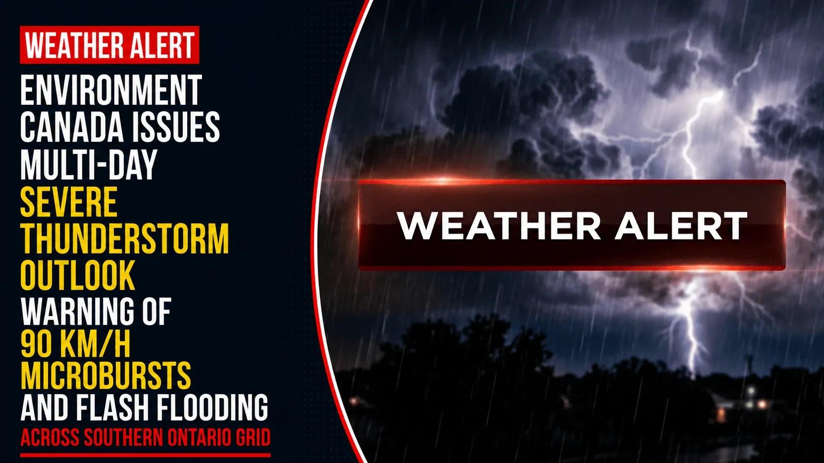
The provincial emergency management panels, municipal public works departments, and regional utility operators across southern Ontario and the Durham Region are transitioning into an active severe weather readiness stance. Tracked under federal meteorological registries on Thursday, July 2, 2026, severe weather monitors finalized the tracking briefing Thunderstorms with damaging winds and hail possible in southern Ontario. Complicating the ongoing multi-day heatwave—which continues to trap dangerous 44°C real-feel humidex values across the lower Great Lakes—the region is facing high convective instability capable of producing fast-moving, destructive storm cells through Friday night.
Emergency services are warning residents to prepare for immediate localized power outages, structural wind damage, and sudden road washouts from high-volume rainfall accumulation.


The Multi-Phase Severe Convective Threat Framework
The federal meteorological outlook outlines a cascading series of atmospheric threats shifting across the province over a 48-hour window.


-
Thursday Afternoon and Evening (Phase 1): The entirety of southern Ontario is under an active storm development risk. While forecasters note a lower confidence in exact timing due to shifting thermal layers, any storm that successfully punches through the heat cap will be capable of producing damaging wind gusts, large hail, and up to 40 mm of localized downpours. The highest developmental confidence for the late-day system remains focused along the eastern Ontario corridor.
-
The Northern Microburst Pocket: Further north and across northeastern Ontario, systems are projected to tap into high-altitude wind shear, threatening to drop 3 cm hail and unleash severe 90 km/h straight-line winds.
-
Friday Afternoon and Night (Phase 2): The threat level intensifies for the core southern Ontario spine stretching from Toronto southwest to Windsor. A heavy, structured squall line is forecast to track cleanly from west to east across the region. This incoming front carries high developmental confidence and threatens communities with large hail, structural wind gusts, and torrential downpours dumping between 30 mm and 50 mm of rain locally.
Analyzing Ontario’s Multi-Day Convective Hazard Matrix
With local soils already saturated and regional trees compromised by near-gale-force wind shear and quarter-sized hail during yesterday’s Canada Day storms, these upcoming rounds of severe weather present an elevated risk for secondary infrastructure damage.
| Tracked System Phase Node | Localized Rainfall Projections | Primary Structural Threat Vectors | Regional Power Grid Status |
| Thursday Convective Cells | Up to 40 mm local accumulation | Damaging wind shear & large hail | High risk of isolated transformer trips |
| Friday Regional Squall Line | 30 mm to 50 mm torrential downpours | Large hail & destructive wind gusts | Elevated risk of tree-limb line interference |
| Northern Corridor Systems | Up to 20 mm local accumulation | 90 km/h microbursts & 3 cm hail | Localized transmission line drops |
| Far Northern Training Storms | Near 40 mm via repeating tracking | Rapid saturation & drainage pooling | Isolated community infrastructure stress |
Training Storm Warning: Forecasters are highlighting a heightened flash flooding threat across far northern zones, where multiple distinct thunderstorms are expected to “train”—tracking repeatedly over the exact same geographic paths. This behavior can quickly overwhelm natural drainage channels, causing sudden, dangerous washouts on low-lying rural roads.
Hydro crews are pre-positioning line trucks near major urban corridors to respond rapidly to any sudden blackouts caused by falling branches. Public safety officers are urging families to keep their mobile electronics fully charged, secure all loose backyard patio items, and immediately move indoors to a safe, low-level room the moment dark thunderclouds build or thunder is heard.
The Environment Canada severe weather desk coordinates all active provincial weather alerts.
Durham Region property owners, long-distance commuters, and local residents looking to monitor real-time high-resolution satellite radar feeds, check municipal road closure bulletins, or view active emergency shelter coordinates can access the central tracking portal online at weather.gc.ca or monitor regional alerts via updates at publicsafety.gc.ca.