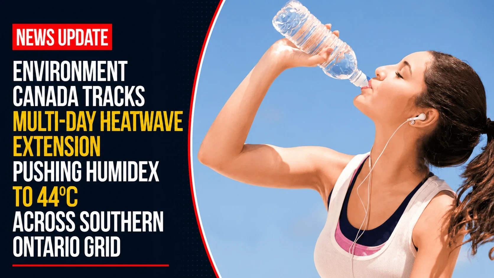
The public health departments, emergency response networks, and municipal park services across the Greater Toronto Area and Durham Region remain on active extreme weather alerts. Tracked under provincial meteorology registries on Thursday, July 2, 2026, corporate weather desk logs finalized the hazard parameters for July 2 weather: It will feel like 44 C with thunderstorms across southern Ontario. A dense subtropical air mass remains trapped across the lower Great Lakes basin, compounding the previous day’s extreme thermal grid and generating high convective instability by the afternoon hours.
First responders are maintaining extra emergency field units to handle heat-related illnesses while utility networks closely monitor regional power substations for heat-induced failures.


The Thursday Thermal and Atmospheric Shock Matrix
The prolonged heatwave combines dangerous real-feel peaks with high solar radiation and sudden convective storm risks.


-
The Sustained Ambient Peak: Baseline temperatures will soar to 35°C across Mississauga, Brampton, Halton, and the Durham Region, with Hamilton tracking just behind at 34°C.
-
The 44°C Humidex Apex: Due to high moisture levels in the lower atmosphere, the real-feel humidex value will climb to a stifling 43 to 44.
-
Dangerous UV Radiation Limits: The UV index will reach a very high rating of 10 across Durham, Mississauga, Brampton, and Hamilton, dropping slightly to 9 in Halton. Public health officials warn that unshielded skin can burn within minutes, making sunscreen, sunglasses, and protective clothing mandatory for outdoor workers.
-
Afternoon Wind Shear and Storm Risk: Mostly sunny morning conditions will quickly give way to shifting cloud cover by midday. The region faces a steady 40 percent probability of rain showers shifting into a direct risk of severe, localized afternoon and evening thunderstorms. This threat is backed by strengthening winds running at 30 to 40 km/h, with localized gusts whipping up to 50 km/h.
Analyzing the July 2 Regional Climate Vectors
With night-time low temperatures failing to drop below 22°C to 23°C, older brick residences without centralized HVAC systems are facing accumulated thermal stress, magnifying safety risks for vulnerable residents.
| Monitored Regional Weather Vector | Target Baseline Value | Active Public Safety Risk Tier | Primary Emergency Response Directive |
| Regional Ambient High | 35°C Base Level | Extended Heat Warning Active | Maximize cooling loop operations indoors |
| Combined Humidex Index | 44 Apex Shock | Extreme physical fatigue risk | Restrict outdoor activities / Hydrate with water |
| Solar UV Exposure | Level 10 (Very High) | Rapid cellular epidermal damage | Avoid peak direct sun from 11 a.m. to 4 p.m. |
| Convective Rain Probability | 40% (Afternoon/Night) | Sudden severe lightning risk | Move inside if dark thunderclouds build |
| Atmospheric Wind Load | 30 to 50 km/h Gusts | Isolated branch and debris shifts | Secure loose outdoor patio items & tents |
Municipal park teams are keeping area splash pads running on extended hours, while clean-air public shelters remain fully open across Durham to provide air-conditioned relief. Emergency workers are urging residents to watch for early signs of heat exhaustion—such as intense fatigue, nausea, blinding headaches, and dark urine—and to immediately call 911 if someone shows signs of a heat stroke.
The local emergency control boards are managing the centralized heat response network.
Durham Region residents, commercial outdoor crews, and travelers looking to track real-time weather radar, check local air quality ratings, or view active beach water safety forms can find all updated alerts online at weather.gc.ca.