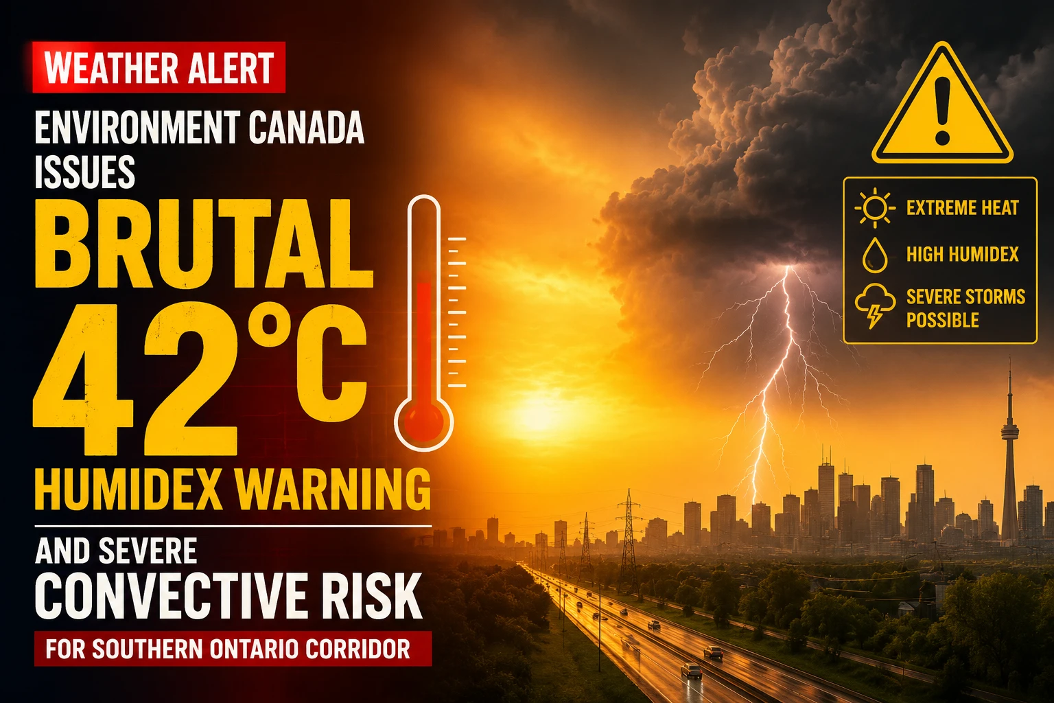
The municipal health command systems, regional emergency response agencies, and public utility operators across the Greater Toronto Area are managing active weather alerts. Tracked under provincial meteorology registries on Tuesday, June 30, 2026, Environment Canada finalized the operational weather grid for June 30 weather: Thunderstorm risk and heat warnings in southern Ontario. Stagnant tropical moisture trapped over southern Ontario has driven ambient temperatures deep into the mid-thirties, triggering widespread municipal heat alerts while stacking significant convective instability that could touch off violent localized wind squalls and lightning cells.
Public safety officials are advising residents to limit intense outdoor work during peak afternoon hours as atmospheric indicators hit high-risk levels.


The Multi-Layered Tuesday Forecast Profile and Atmospheric Constraints
The specialized meteorological matrix identifies overlapping hazards spanning thermal stress, solar radiation levels, and storm vectors.


-
The Humidex Threshold: Forecasters have logged a base ambient afternoon high of 33°C across Toronto and the Durham Region. Due to the high water-vapor saturation levels across the lakeshore, the real-feel index is pinned to peak directly at 42°C.
-
The Convective Windows: Regional tracking indicates a steady 40 percent probability of rain showers rolling through the morning, shifting into an active risk of severe isolated thunderstorms by the afternoon and into the overnight hours.
-
High-Velocity Wind Squalls: Outside of structured storm cells, general prevailing wind channels are expected to trigger sharp, unpredictable gusts reaching up to 50 km/h across the GTA, capable of knocking over weak patio infrastructure and scattering loose debris.
-
Extreme Solar Radiation: The weather service has assigned a UV Index rating of 9 (“Very High”) during clear sky intervals, meaning unprotected skin can experience severe blistering sunburns within fifteen minutes.
Analyzing the Tuesday June 30 Regional Climate Boundaries
The mix of extreme humidity and unstable air masses requires continuous monitoring of the power grid as air conditioning systems draw maximum loads across regional subdivisions.
| Monitored Climate Vector | Targeted Baseline Value | Active Public Safety Risk Tier | Primary Recommended Mitigation Pathway |
| Ambient Afternoon High | 33°C Flat Base | Heat Warning Framework Active | Transition to air-conditioned spaces |
| Peak Combined Humidex | 42°C Real-Feel Margin | Elevated risk of heat exhaustion | Limit manual labor during daylight hours |
| UV Radiation Index | Level 9 (Very High) | Accelerated skin/eye sun damage | Apply SPF 30+ / Wear broad sunhats |
| General Convective Wind | 50 km/h Cross-Gusts | Flying debris / Minor tree breaks | Secure outdoor furniture & waste bins |
| Precipitation Probability | 40% (Day and Night) | Localized microburst street flooding | Clear private perimeter catch basins |
The weather agency notes that overnight relief will remain minimal, with low temperatures dropping to only around 26°C amid thick cloud cover. This prevents residential structural interiors from cooling down naturally without mechanical HVAC intervention. Paramedics across Durham are keeping a close eye on vulnerable populations and are reminding pet owners that vehicle interiors will easily exceed 50°C within minutes under these conditions.
Durham homeowners, construction supervisors, and holiday commuters looking to map out live Doppler lightning tracking grids, check local air quality index metrics, or view municipal cooling center openings can access the central provincial database online at weather.gc.ca.