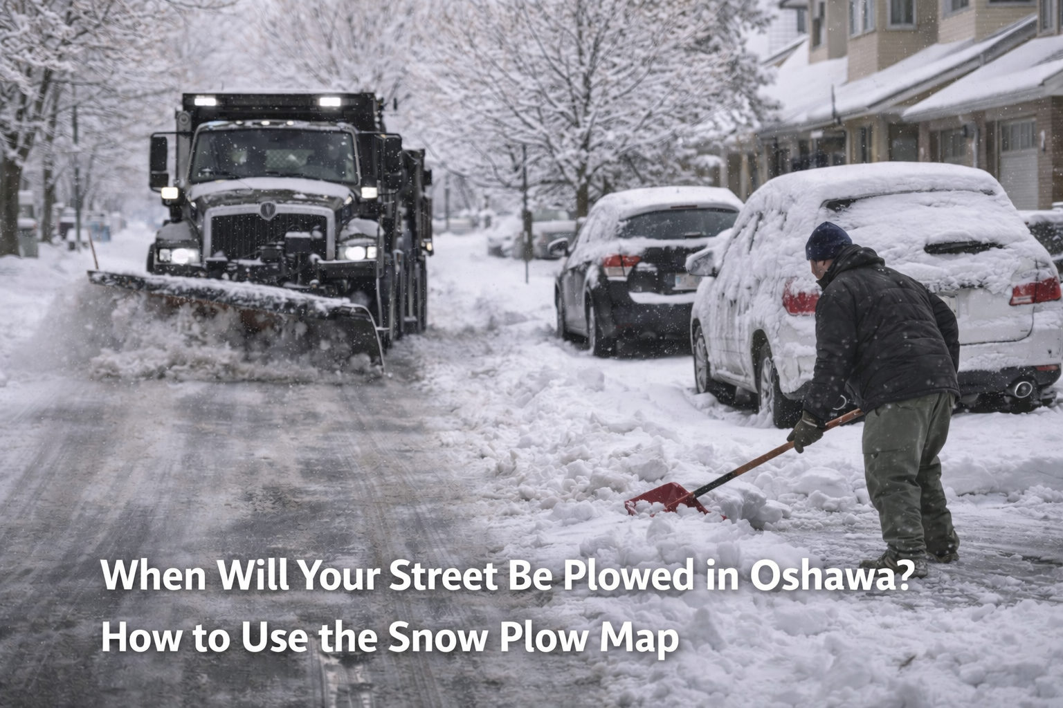
Residents wondering when their street will be cleared following the recent snowfall can now track progress using the Oshawa snow plow map.
The City of Oshawa provides an interactive online snow-clearing map that shows which roads and residential streets are currently being plowed, along with the order in which plowing occurs after a winter storm.
Major roadways in Oshawa, including Simcoe Street, King Street, Bond Street and other four-lane routes, are plowed by Durham Region. These arterial roads are typically cleared first to allow emergency vehicles and essential traffic to move safely following significant snowfall.
Once priority roads are addressed, city snowplow crews begin working through residential neighbourhoods across Oshawa. The Oshawa snow plow map allows residents to monitor this progress in real time and see when crews are approaching their area.
City officials note that plowing schedules may change depending on weather conditions and the severity of snowfall, but the map provides the most up-to-date information available for residents during winter cleanup operations.