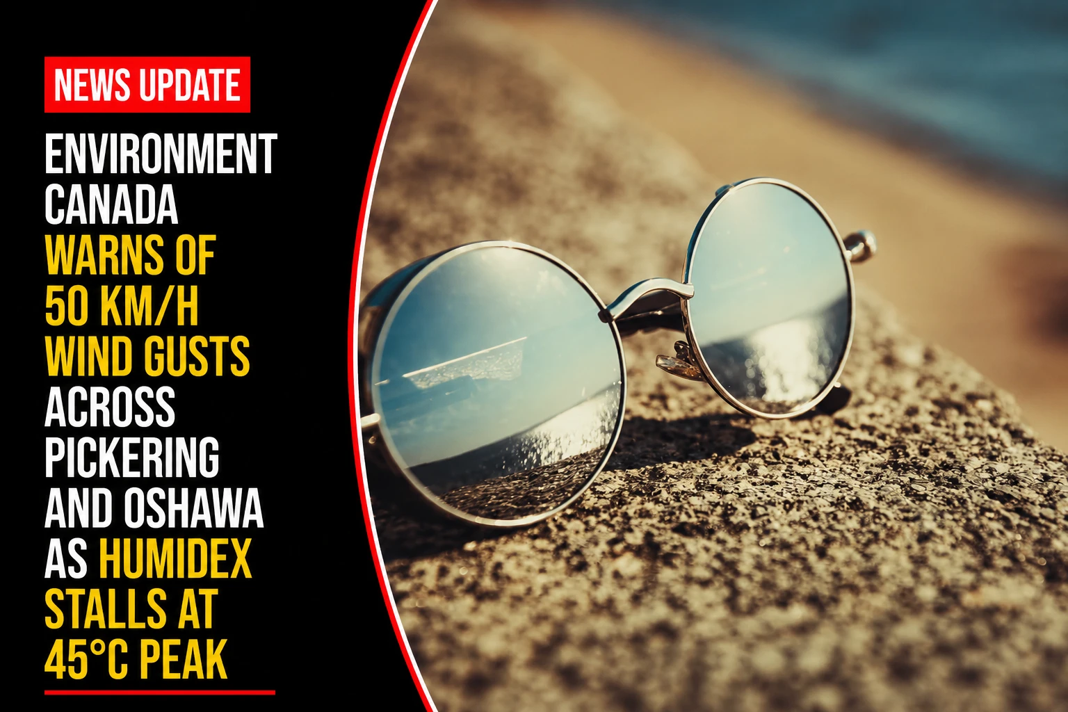
The municipal emergency management offices, public works crews, and public health agencies within the Durham Region are maintaining maximum readiness. Tracked under provincial climatology and regional safety portfolios on Tuesday, July 14, 2026, disaster mitigation planners finalized the local climate update July 14 weather: Heat warnings with high that feels like 45 C in southern Ontario. The official federal update details an intensifying combination of severe atmospheric hazards: high thermal moisture loads are keeping perceived values locked at a dangerous 45°C ceiling, while a tight pressure gradient triggers strong, localized wind gusts across the eastern sectors of the Greater Toronto Area.
Public safety authorities are urging residents to take immediate shelter from direct sun exposure, warning that the combination of strong convective winds and an elevated UV index will accelerate dehydration and heat stress.
Localized Micro-Climate and Wind Velocity Tracking
The July 14 weather window stands out due to high atmospheric turbulence along the northern shore of Lake Ontario, separating it from standard stagnant heat events.
-
The Lakeshore Wind Inversion: While core GTA centers like Toronto and Mississauga are logging steady west winds at 20 km/h peaking out at 40 km/h, the unique open topography of the eastern Durham shoreline will see maximum convective wind gusts striking up to 50 km/h in Oshawa and Pickering.
-
The Ambient Peak: Ambient daytime baseline temperatures will reach an intense 37°C, which combines with dense sub-tropical humidity to create a sustained perceived index of 45°C.
-
The UV Apex Escalation: Under completely cloudless mid-day skies, solar radiation metrics have officially risen to a very high UV Index rating of 9. At this level, skin damage can occur in less than 15 minutes without direct physical blockers or high-SPF broad-spectrum sunscreens.
-
The Trapped Overnight Floor: Tuesday night will bring clear skies, but thermal radiation will remain trapped in urban environments, keeping the overnight low at an oppressive 25°C and offering no natural metabolic relief before Wednesday morning.
Analyzing the Multi-Day Weather Stabilization and Mitigation Matrix
Regional monitoring systems show a slight easing of ambient highs by mid-week, though moisture levels will remain high enough to trigger storm conditions.
| Timeline Matrix Node | Peak Ambient Temp | Localized Wind/Humidity Indicators | UV Exposure Alert Tier | Recommended Municipal Action Plan |
|
Tuesday, July 14
(Peak System Apex) |
37°C Baseline | 50 km/h gusts in Pickering/Oshawa; feels like 45°C. | Very High (9): Critical solar radiation threat level. | Close all interior blinds; move vulnerable residents directly into air-conditioned public libraries or cooling hubs. |
| Tuesday Night | 25°C Floor | Winds easing down to a light breeze around midnight. | None (Nocturnal cycle) | Open windows only if outdoor air drops below indoor structural temperatures. |
| Wednesday, July 15 | 32°C Baseline | Transitioning to a mix of sun and clouds; lingering high humidity. | Moderate to High | Monitor cooling systems ahead of a projected drop down to a comfortable 19°C overnight low. |
Environment and Climate Change Canada and the Durham Region Health Department handle ongoing regional radar diagnostics, heat relief coordination, and public safety announcements.
Durham families, construction site managers, and commuters looking to check live cooling station hours at local community centers, view real-time wind warning maps for the Pickering and Oshawa coastlines, or review child and pet safety guidelines can access the public systems online through the central Environment Canada tracking hub, look over updates via the Durham Region Public Health portal, or track community emergency alerts via the municipal safety registry.