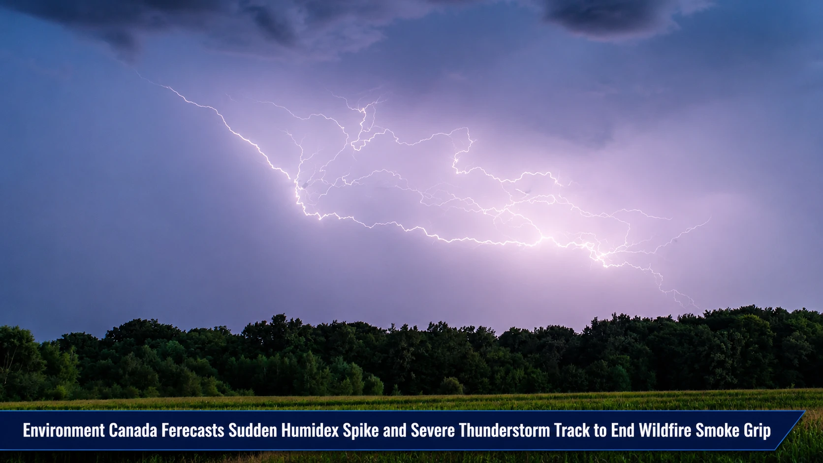
The emergency operations divisions, municipal recreation desks, and severe weather monitoring teams within the Durham Region are updating weekend coordination protocols. Tracked under provincial climatology, severe convective storm outlooks, and public safety portfolios on Thursday, July 16, 2026, severe weather meteorologists finalized the multi-day forecast Weekend weather: Severe thunderstorms forecast in southern Ontario. Following a multi-day air quality crisis caused by dense wildfire soot, a dramatic atmospheric shifting pattern will fully clear out regional smoke corridors, replacing the haze with unstable, high-humidity storm fronts by the start of the weekend.
Meteorologists stress that while the clean air transition brings vital respiratory relief, the combination of high thermal energy and incoming moisture loops creates a prime environment for localized severe weather cells.
The Multi-Day Weekend Weather Matrix and Convective Trajectory
The regional forecast transitions through three distinct phases, shifting from post-smoke clearing to high-instability convective systems before bottoming out into stable summer baselines:
-
The Friday Clearing Phase: High atmospheric pressure brings mostly sunny skies across Durham Region on Friday, July 17, with a high of 28°C (feeling like 30°C with humidity). The smoke fields will completely dissipate by morning, followed by a minor 40% chance of isolated evening showers and a low of 17°C.
-
The Saturday Thunderstorm Inversion: Conditions rapidly destabilize on Saturday, July 18. The baseline temperature targets 27°C, but a sudden influx of deep humidity will force the real-feel index to surge up to 37°C. This heavy moisture fuel triggers a 60% chance of severe thunderstorms tracking across the region throughout the day, dropping to a 30% shower probability by evening with a low of 17°C.
-
The Sunday Stabilization Window: Sunday, July 19 stands out as the premium weather window of the weekend. Convective fronts exit the basin, giving way to a beautifully balanced mix of sun and cloud, a high of 27°C, and a crisp, refreshing overnight low of 15°C.
Analyzing the Weekend Meteorological Targets and Baseline Comparisons
The upcoming weather patterns align closely with standard historical averages for mid-July, despite the sharp, short-term Saturday instability spike.
| Target Forecast Date | Ambient Peak Temperature | Real-Feel Humidex Value | System Probability & Risk Index | Historical Climatological Norms |
| Friday, July 17 | 28°C | 30°C Real-Feel |
• Widespread smoke clearance. • 40% chance of evening showers. |
Normal High: 27°C (System hovers exactly within historic baseline ranges) |
| Saturday, July 18 | 27°C | 37°C Real-Feel (High Alert) |
• 60% chance of rain. • Heavy risk of severe thunderstorms. |
Normal Low: 15°C (Stagnant overnight lows remain slightly elevated at 17°C) |
| Sunday, July 19 | 27°C | 29°C Real-Feel |
• Clear mix of sun and cloud. • Stable conditions; zero storm risk. |
System Balance: Perfectly maps to historical mid-summer baseline targets. |
The Severe Weather and Community Activity Directives
While the clearing of the orange-alert wildfire smoke marks a massive victory for public health, residents are urged to remain flexible with outdoor weekend recreation plans. The Weather Network’s convective tracking models suggest that Saturday’s severe thunderstorm cells could bring sudden lightning arrays, brief high-volume downpours, and localized wind gusts. Given the steep 37°C real-feel humidex value running ahead of the storm line, local sports coordinators and families should ensure immediate access to structural shelter. Fortunately, the passing storm front acts as an atmospheric flush, setting up a stable and clear Sunday that provides ideal conditions for park activities, agricultural events, and lakeshore community travel.
The Environment Canada Severe Weather Tracking Desk, the Weather Network Convective Modeling Branch, and the Durham Region Emergency Management Operations Center handle ongoing storm system analysis, radar loop reporting, and localized emergency alerts.
Durham residents, outdoor event coordinators, and weekend travelers looking to monitor live Dopler radar feeds for Oshawa and Whitby, check changing humidex safety values, or download updated severe storm warnings can find the tools online through the central Environment Canada tracking hub, check real-time radar networks via the Weather Network portal, or monitor regional safety updates through the Durham Region public safety dashboard.