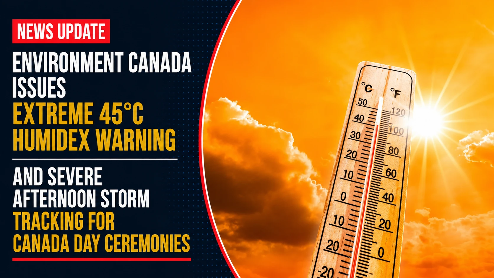
The municipal emergency medical divisions, regional park operations, and public health command systems across the Greater Toronto Area are operating under high-alert emergency matrices. Tracked under provincial meteorology registries on Wednesday, July 1, 2026, Environment Canada finalized a dangerous weather grid for July 1 weather: High that feels like 45 C and thunderstorms in southern Ontario. A thick air mass of sub-tropical humidity trapped over the Great Lakes has pushed regional heat indexes to historic thresholds, coinciding directly with massive outdoor Canada Day community festivals and requiring strict emergency health interventions.
First responders are deploying extra assets across neighborhood celebration zones, urging families to carefully monitor children and elderly relatives for signs of rapid heat illness.
The Canada Day Atmospheric Hazard Matrix and Dehydration Risks
The holiday forecast combines high-temperature limits, high humidity levels, and sudden severe weather threats.
-
The Dangerous Real-Feel Peak: Ambient air temperatures are forecast to max out at a base of 36°C across the GTA and the Durham Region. When combined with the heavy humidity, the real-feel humidex value will spike to a dangerous 45°C to 46°C.
-
The Afternoon Convective Threat: Clear morning intervals will give way to rapid cloud development by midday. Meteorologists have logged a steady 40 percent probability of rain showers shifting into a direct risk of severe, localized afternoon thunderstorms.
-
High-Risk Holiday Advice: Public health officers are issuing urgent warnings to crowds attending local street parties and parks. People are strongly advised to limit their alcohol intake, as drinking booze in this intense heat accelerates dehydration and increases the danger of heat exhaustion or life-threatening heat stroke.
-
Overnight and Extended Outlook: The evening will remain sticky with 40 km/h wind gusts and continued storm risks. Looking ahead to Thursday, July 2, relief remains out of sight as the baseline afternoon high is projected to reach 35°C even before factoring in the humidex.
Analyzing the July 1 Regional Statutory Holiday Climate Constraints
The dangerous combination of extreme heat and sudden storm threats requires close cooperation between event organizers and emergency services to ensure public safety at outdoor venues.
| Monitored Holiday Weather Vector | Target Baseline Value | Active Public Safety Risk Tier | Primary Emergency Response Directive |
| Lakeshore Ambient Peak | 36°C Flat Base | Extended Heat Warning Active | Seek shade structures / Use public cooling hubs |
| Combined Holiday Humidex | 45°C – 46°C Apex | Extreme danger of physical collapse | Restrict strenuous play / Drink electrolyte fluids |
| Convective Storm Threat | 40% (Afternoon & Night) | Sudden cloud-to-ground lightning | Prepare to move outdoor crowds inside quickly |
| Localized Weather Wind | 40 km/h Peak Gusts | Temporary pop-up tent damage | Secure lightweight event signs and canopies |
| Overnight Cooling Floor | 23°C Low Point | Accumulated residential thermal stress | Keep mechanical AC filtration loops running |
Regional emergency services are setting up mobile cooling stations and giving out free water bottles at major outdoor venues like the Durham Meadoway link trails and local waterfront parks. Paramedic crews are reminding the public that heat stroke is a medical emergency; anyone showing signs of confusion, heavy panting, or hot, dry skin should immediately be moved out of the sun while someone calls 911.
Durham Region residents, outdoor festival staff, and holiday travelers looking to monitor live radar arrays, check active air quality limits, or view real-time changes to local fireworks schedules can access the tracking map online at weather.gc.ca.