








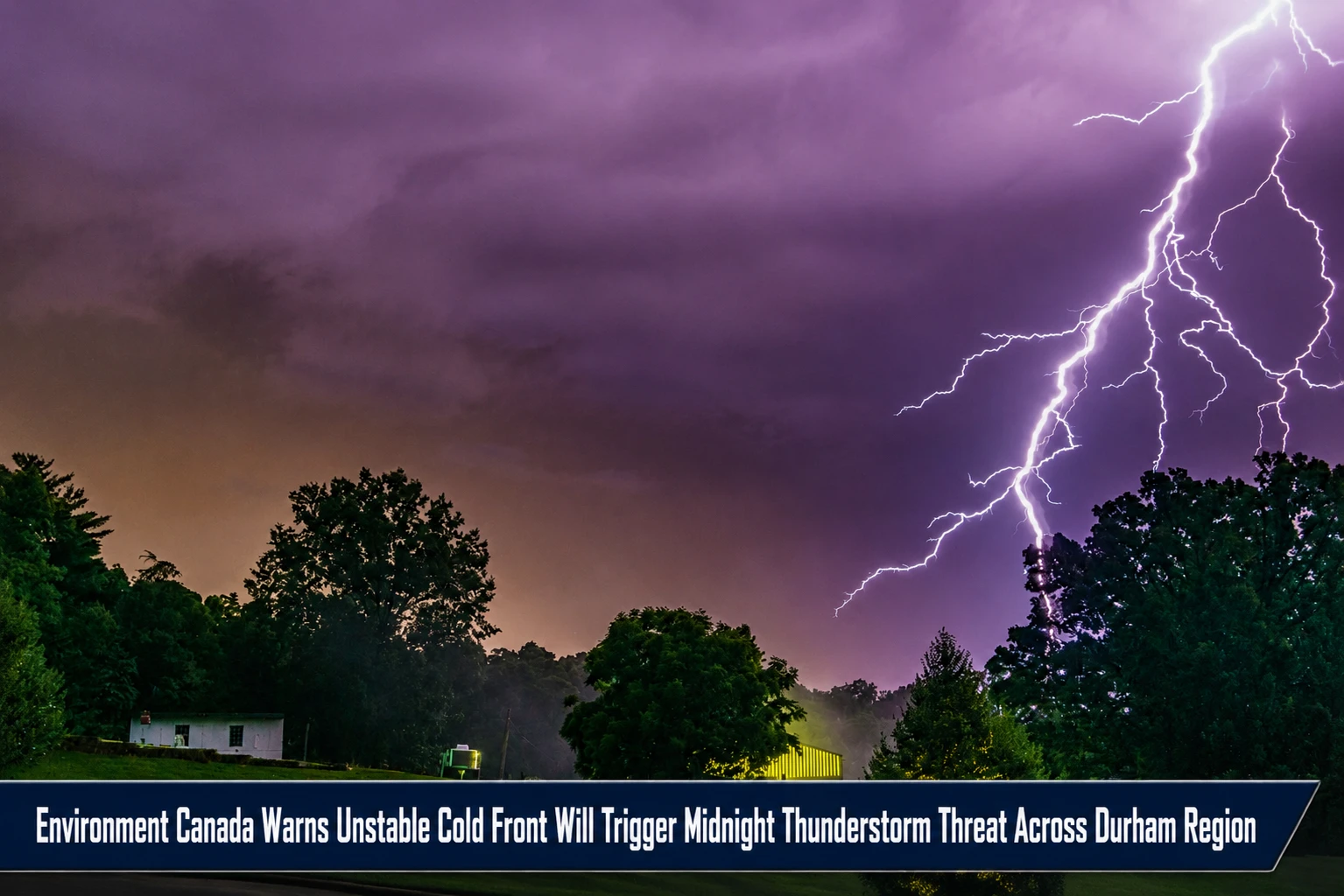
The severe weather operations rooms, municipal facility managers, and regional emergency management divisions within the Durham Region are shifting tactical safety alerts. Tracked under provincial emergency meteorology, convective storm tracking, and public safety portfolios on Friday, July 17, 2026, severe weather experts finalized the high-risk atmospheric timeline July 17 weather: Thunderstorm risk across southern Ontario. In a dramatic shift in local weather systems, the toxic wildfire smoke columns that forced community evacuations in northern Ontario are officially lifting out of the southern basin, replaced by an volatile, moisture-heavy cold front capable of generating severe midnight convective lightning arrays.
Meteorologists emphasize that because the incoming thermal boundary layer drops down during the late-night hours, residents should prepare for sudden wind changes and high-volume localized rain bursts while sleeping.


The Multi-Day Convective Trajectory and Temperature Reset
The incoming low-pressure front moves through three distinct phases, generating extreme humidity blocks before bottoming out into unusually cool mid-summer baselines:


-
The Friday Night Transition: Friday daytime brings a temporary clearance with sunny skies and a high of 28°C (feeling like 30°C due to lingering moisture grids) under a very high UV index of 9. However, skies will cloud over rapidly after sunset, triggering a 60% chance of late-evening showers that escalates into an overnight thunderstorm risk with a stagnant low of 19°C.
-
The Saturday Humidex Inversion: Saturday, July 18 remains highly unstable. The ambient high drops to 26°C under thick clouds, but a massive surge of ground-level moisture will force the real-feel humidex to spike to an aggressive 37°C. The Weather Network maintains a continuous severe thunderstorm warning throughout the day, dropping to a minor 30% shower probability by nightfall as temperatures sink to 15°C.
-
The Sunday Cold-Core Clearance: Sunday, July 19 marks a complete environmental reset. High pressure flushes the moisture blocks, yielding crisp, sunny skies and a comfortable high of 24°C. Overnight, the clear sky will trigger rapid thermal loss, sending the temperature down to an unusually cool low of 11°C—well below standard seasonal markers.
Analyzing the Shifting Weather Inversion and Micro-Climate Baselines
The rapid multi-day weather system swings well outside the standard mid-July historical baselines established by Environment Canada.
| Projected Target Date | Peak Ambient Target | Real-Feel Humidex Value | System System Probability & Core Threat | Historical Climatological Norms |
| Friday, July 17 | 28°C | 30°C Real-Feel |
• Widespread orange air alerts lift. • 60% chance of evening rain loops. • Overnight thunderstorm risk. |
Standard High Baseline: 26°C (Daytime metrics hover slightly above historic targets) |
| Saturday, July 18 | 26°C | 37°C Real-Feel (High Alert) |
• Heavy cloud cover traps heat. • 60% chance of severe storms throughout the daytime. |
Standard Low Baseline: 15°C (Nighttime lows align perfectly with historic data) |
| Sunday, July 19 | 24°C | 25°C Real-Feel |
• Full clear sun returns. • Zero storm risk; major system exit. • Sharp low of 11°C (Extreme drop). |
Cool Temperature Inversion: Overnight metrics drop 4°C colder than the standard 15°C normal loop. |
The Severe Weather Staging and Residential Safety Directives
“Friday evening will start off with clear skies before becoming cloudy with a 60 per cent chance of showers in the GTA. There’s also a risk of thunderstorms overnight,” Environment Canada highlighted within its latest operational updates. While the lifting of the high-risk wildfire smoke allows local municipalities to safely restart frozen outdoor playground programs and open closed pools, families are urged to secure loose outdoor property ahead of the midnight front. The combination of Saturday’s intense 37°C real-feel humidex and active convective modeling means that regional power grids could face brief disruptions from localized lightning strikes. Fortunately, the system leaves behind a clean, crisp Sunday that provides ideal travel and leisure conditions, though residents should pull out extra blankets as the overnight temperature plunges toward autumn-like lows.
The Environment Canada Severe Weather Desk, the Weather Network Storm Prediction Center, and the Durham Region Joint Emergency Operations Center handle ongoing radar analysis, lightning tracking, and localized flash flood alerts.
Durham residents, outdoor sports organizers, and weekend commuters looking to view live Doppler radar sweeps across Oshawa and Whitby, check real-time humidex warning thresholds, or download direct severe storm alerts can locate the tools online through the central Environment Canada portal, check localized tracking charts via the Weather Network, or monitor regional safety updates through the Durham Region public safety hub.