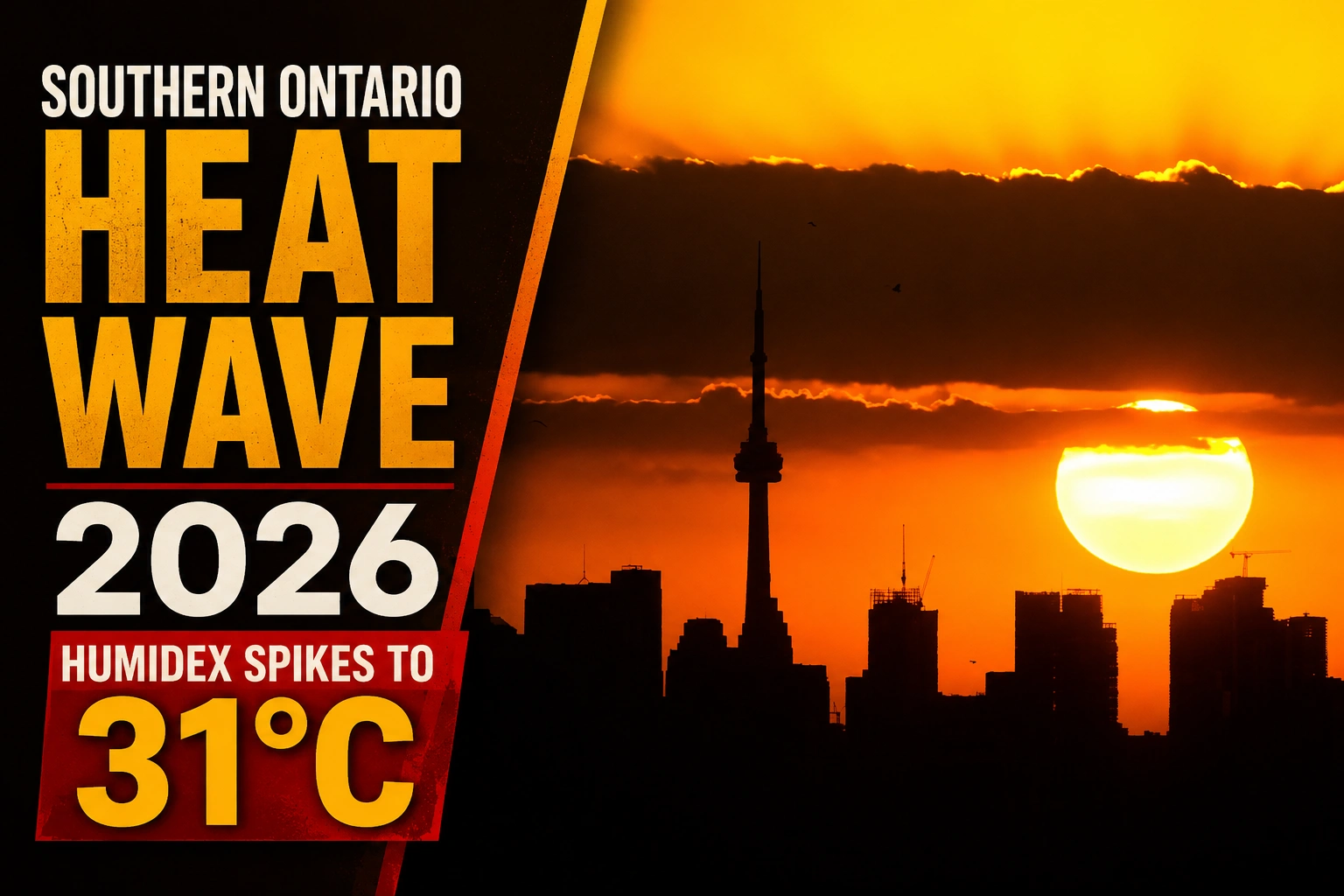
A shifting maritime air mass has triggered an immediate macro-climate transition across the Great Lakes basin, forcing a period of rapid thermal expansion across regional communities. Under the current public alert tracking the Southern Ontario Heat Wave 2026, Environment Canada meteorologists have verified that high-pressure ridges migrating from the American Midwest are actively pooling tropical humidity levels across the Golden Horseshoe and the Durham Region, driving perceived local temperatures well past late-spring baselines.
The sudden influx of dense moisture has generated substantial early-morning driving hazards along the primary highway grids before transforming into a high-intensity solar profile by midday.


The Mechanics of the Microclimate Inversion
The current meteorological shift has initiated a complex dual-phase weather loop impacting local municipalities. During the early morning hours of Tuesday, May 26, 2026, severe thermal radiation differences between the warm air mass and the unseasonably cold waters of Lake Ontario triggered a massive advection fog inversion.


| Regional Atmospheric Metric | Documented Local Value / Boundary Limits |
| Peak Ambient Temperature | 28°C (Observed across the Greater Toronto-Brampton core) |
| Perceived Humidex Profile | 31°C (Driven by low-level moisture stacking) |
| Maximum UV Index Rating | Level 8 (Classified as “Very High” risk exposure) |
| Ambient Wind Vector | 20 km/h to 30 km/h sustained gusts tracking Northeast |
| Nighttime Cooling Basin | Clear skies yielding a stable floor of 17°C |
The resulting heavy fog patches severely depressed horizontal visibility down to less than 500 meters across the lower-tier transit sectors of Oshawa, Hamilton, and the Niagara peninsula. Municipal police forces were forced to issue commuter safety warnings along lower sections of the standard highway grids before the high-intensity morning sun managed to fully burn off the low-lying condensation layer.
UV Radiation Management and Midweek Storm Influx
As the fog dissolved, severe solar radiation quickly accelerated. Public health officials are instructing outdoor worker pools, landscaping crews, and municipal recreational coordinators across Pickering, Ajax, and Whitby to implement immediate heat mitigation strategies. The designated UV Index of 8 means that unprotected skin can suffer severe epidermal burning in less than twenty minutes, requiring the application of broad-spectrum block blocks and mandatory hydration breaks to counteract potential heat exhaustion vectors.
The tail end of the Southern Ontario Heat Wave 2026 is expected to trigger a secondary atmospheric destabilization loop over the next twenty-four hours. Evening cooling cycles will introduce shifting cloud banks carried by sustained 20 km/h winds, bottoming out at a overnight low of 17°C.
Looking ahead to Wednesday afternoon, the lingering high-temperature envelope will mix with incoming cold fronts, stabilizing ambient highs at 27°C while generating a 30 percent statistical probability of convective rain showers and localized lightning cells across the Durham Region.